

According to the analysis of weather charts, it is anticipated that the tropical cyclone will further weaken to a Category 1 cyclone within the next 6 hours and is expected to make landfall in the Al Mahra Governorate in Yemen tonight or early tomorrow morning. Currently, it is situated 250 kilometers away from the Salalah coast.
The classification of the tropical system has been downgraded to a Category 2 cyclone. Over the past few hours, some areas in the Dhofar Governorate have experienced heavy rainfall and strong winds.
The impact is expected to persist in the Dhofar and southern parts of the Al Wusta Governorates, bringing heavy rainfall (ranging from 50 to 300 millimeters) and the potential for wadi flooding. Additionally, there will be strong to very severe winds blowing at speeds of 40 to 70 knots. The sea is expected to be very rough, with wave heights between 5 to 10 meters. Furthermore, there is a risk of storm surge causing coastal areas to be inundated with seawater.
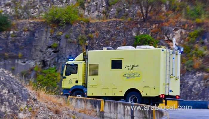
The Civil Aviation Authority strongly advises everyone to exercise the utmost caution. It is crucial to avoid crossing valleys and steer clear of low-lying areas. Furthermore, it is strongly recommended not to venture into the sea during this period.